Data Collection and Sharing: AFWEN can facilitate the collection of satellite and terrestrial data relevant to flood and wetland monitoring. This data can be shared with stakeholders for in-depth analysis and informed decision-making.
Capacity Building: The network can organise workshops, training courses and seminars to build the skills of local experts and stakeholders in the use of Earth observation technologies.
Research and Innovation: Encourage and support innovative research projects that exploit Earth observation technologies to improve the understanding and management of floods and wetlands in Africa.
Interdisciplinary Collaboration: Promote an interdisciplinary approach by involving experts from different fields (hydrology, climatology, ecology, geography, etc.) for a holistic understanding of the problems associated with floods and wetlands.
Practical Applications: Developing practical applications and services that meet the needs of decision-makers, resource managers and local communities, such as flood early warning systems and sustainable wetland management tools.
Strategic Partnerships: Establishing partnerships with regional and international organisations, governments, NGOs and research institutions to maximise the impact of projects and ensure better coordination of efforts.
Awareness and Advocacy: Conduct awareness campaigns to inform stakeholders and the general public about the importance of flood and wetland monitoring and the benefits of Earth observation technologies.

The African Network of Experts
Lorem ipsum dolor sit amet, consectetur adipiscing elit. Ut elit tellus, luctus nec ullamcorper mattis, pulvinar dapibus leo.
Featured
Projects & Events
Flood Risk Study, Test.
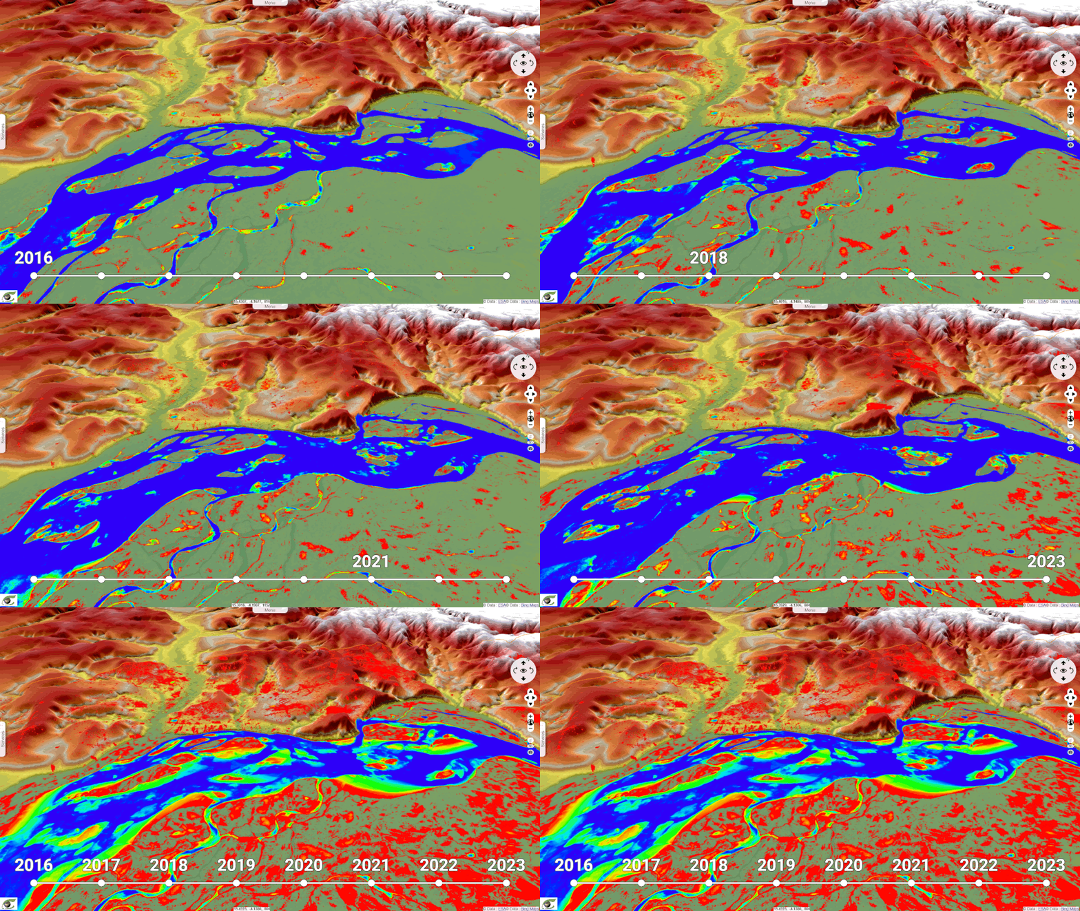
This geoservice presents a map of water zones in the Congo Basin, automatically detected from a radar...
Flood Risk Study,in the Congo Basin.
This geoservice presents a map of water zones in the Congo Basin, automatically detected from a radar...
Flood Risk Study,in the Congo Basin.
This geoservice presents a map of water zones in the Congo Basin, automatically detected from a radar...
Flood Risk Study,in the Congo Basin.
This geoservice presents a map of water zones in the Congo Basin, automatically detected from a radar...
Flood Risk Study,in the Congo Basin.
This geoservice presents a map of water zones in the Congo Basin, automatically detected from a radar...
AFWEN
The African Network of Experts in Earth Observation for Floods and Wetlands (AFWEN)
AFWEN aims to promote collaboration between its members and stakeholders to support projects focused on the monitoring and assessment of floods and wetlands. Here is how AFWEN can achieve this objective:
By implementing these strategies, AFWEN can play a crucial role in improving the resilience of African communities to flooding and in the protection and sustainable management of wetlands.
Join AFWEN
Are you an expert in Earth Observation for Floods and Wetlands?
Apply to be part of AFWEN :
AFWEN Network
Contact AFWEN
Have a Question? We’re Here to Help!
